


Cattle consume vast amounts of grasses and greens, and therefore it is critically important to determine both the quality and quantity of the grasses in a given pasture at any one time. Various methods have been used for sampling the biomass of this cattle feed, with a recent study that used drones with SWIR cameras to determine grassland biomass in a non-destructive way. The high spatial and temporal resolution images offered by this method are central to sustainable and site-specific management decisions in agricultural applications.
In a joint research project, a team from the University of Applied Science Koblenz and the Remote Sensing and GIS group at the University of Cologne set out to find better ways of monitoring biomass in a given plot of grassland. In addition to grass, winter wheat, barley, etc., are all potential crops, however, these must be investigated separately and calibrated accordingly to the sensor technology.

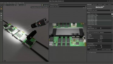
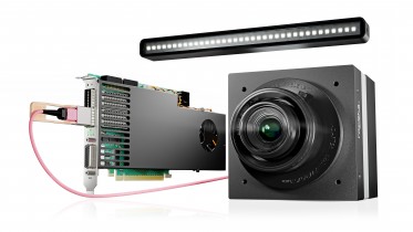
Figure 1: Schematic system overview (see Ref (1)
The field they investigated is an experimental field divided into plots with different nitrogen fertilization treatments, which are then regularly repeated like a chessboard. For experimental purposes, biomass was destructively sampled from each of the 6x6m plots to be analyzed in the laboratory and then combined with spectral data in regression analyses.
The setup
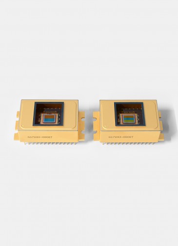
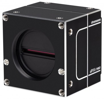
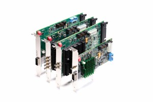
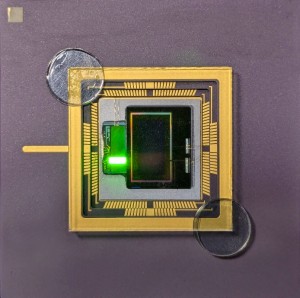
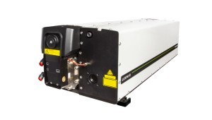
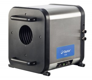
The researchers developed an UAV-based (unmanned aerial vehicle or a drone) multi-camera system to collect NIR/SWIR data on the level of biomass in agricultural plots. The system displayed in figure 1 shows a spectral camera unit (SCU) and a sensor management unit (SMU), both mounted onto a drone solution. Two Raptor Owl 640 M Vis-SWIR cameras are on board, and provide coverage from 600 to 1700 nm of the electromagnetic spectrum. They chose these camera modules because they have a small form factor, an energy-efficient uncooled (TEC-less) design and high sensitivity. Another advantage is the interchangeable lens mount used for a custom filter flange solution to adapt application-specific narrow bandpass filters in the optical path.
The method
The researchers are determining NIR/SWIR vegetation indices (VI) using linear regression models, ultimately trying to find whether there is a relationship between the ground truth data collected and the mean VI values of each plot. They investigated several statistical quality measures to conduct a final evaluation of the system. When calculating biomass yield per hectare, samples are collected in the individual plots of the experimental trial field. A conventional lawnmower was used to harvest a 0.54 × 5.46 m2 strip of standing biomass from 156 plots.

Figure 2: Location and layout of the experimental site (see Ref (2)
The fresh biomass samples were weighed directly, and from that, subsamples were taken for dry matter calculation. These subsamples were dried in a forced-air dryer to constant weight for three days. Subsequently, weights of dried subsamples were used to calculate dry above-ground biomass yield per hectare (t ha−1).
The advantages of multispectral imaging
With the UAV-based sensor systems, the researchers found that it is possible to achieve a high spatial and temporal resolution of currently small to medium-sized farmland in agricultural applications. The main advantage of multispectral imaging is that it offers a way to non-destructively estimate biomass based on the spectral information of the reflected sunlight from the monitored farmland.
Drawback of silicon-based sensors
In this application, the spectral application range of such multi-camera systems is limited to the visible (VIS) and near-infrared (NIR) wavelength range (400-1000nm). According to the researchers, it must be pointed out that the individual spectral domains (VIS, NIR, and SWIR) are classified differently depending on the source, which can sometimes lead to confusion. The team mainly addressed the spectral intervals to the sensors necessary for detection, i.e., VIS-NIR (400-1000, silicon) and SWIR (1000-2500, InGaAs). Other sources distinguish VIS: 400-700nm, NIR: 700-1300nm, and SWIR: 1300-2500nm. In some cases, the NIR is limited to 1100nm.

Figure 3: Image data processing workflow
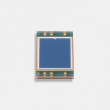
In spectral vegetation monitoring, the main principle is to derive vegetation indices (VI) from the acquired spectral bands. This spectral information can be acquired via different sensor systems. They used a self-developed experimental multi-camera system consisting of two InGaAs cameras (Owl 640 M). Each camera is equipped with a bandpass filter to detect only a selected wavelength or, more precisely, a narrow band of wavelengths (10nm) around a center wavelength from the incoming light spectrum. Numerous established vegetation indices exist in the different spectral domains (VIS, NIR, SWIR), focusing on the vegetation's various properties (spectral fingerprints). VIs from the visible and near-infrared range are sensitive to foliar pigments like chlorophyll or carotenes. They tend to saturate as the monitored vegetation's biomass density or leaf cover increases. Specifically, this means that beyond a particular growth stage, changes in vegetation can no longer be detected in the derived VIs. Vegetation indices that include the short-wave infrared are not as susceptible to this effect or saturate in a later stage. Other plant components are decisive for absorbing or reflecting the incident light in this spectral range. These distinct components include mainly water, e.g., in the form of leaf moisture. However, leaf biochemicals such as lignin or cellulose also have their absorption lines in the SWIR range (1000-2500) and can therefore be principally detected. Some of these spectral properties, especially in the 1000-1300nm range, can be used to describe biophysical quantities, including biomass, that are important for yield prediction and farmland management.
Aerial monitoring versus ground truth data
While ground truth data are the gold standard to estimate biomass, the analyses required are time-consuming and costly. It is also difficult to analyse extensive areas of farmland. Gathering ground truth data even on a small plot is difficult, which is why more accurate attempts are being made to replace such destructive analyses with alternative approaches. Airborne spectral detector systems, in this case a VNIR/SWIR capable multi-camera system, are used to estimate biomass using the spectral information obtained in the form of vegetation indices, thus replacing destructive analyses on a large scale.
The team evaluated the spectral information contained in the images and attempted to establish a relationship with the ground truth data. For this purpose, the acquired single images (about 1000 per wavelength) are converted from DN values (digital number) into reflectance values. Afterward, these images, selected by wavelength, are converted into so-called orthomosaics (contiguous image maps that depict the entire field trial). These orthomosaics are georeferenced using precisely measured ground control points (GCPs) in the field. From these orthomosaics, the desired VI orthos are computed in GIS software. With a zonal statistics analysis, the mean VI values for each trial plot are calculated. These VI values are then further analyzed with the biomass sampling results in regression analyses.
Next step
The next step in their research aims to apply the experimental VNIR/ SWIR imaging system in multi-temporal campaigns for monitoring grass sward development during several growth periods in a year throughout multiple years. The system will also be tested on further trial fields.
Written by Anne Fischer, Editorial Director, Novus Light Technologies Today
Images:
Ref [1] Jenal, A.; Bareth, G.; Bolten, A.; Kneer, C.; Weber, I.; Bongartz, J.; Development of a VNIR/SWIR Multispectral Imaging System for Vegetation Monitoring with Unmanned Aerial Vehicles. Sensors 2019, 19, 5507, doi: 10.3390/s19245507.
Ref [2] Jenal, A.; Lussem, U.; Bolten, A.; Gnyp, M.L.; Schellberg, J.; Jasper, J.; Bongartz, J.; Bareth, G.; Investigating the Potential of a Newly Developed UAV-Based VNIR/SWIR Imaging System for Forage Mass Monitoring. PFG – J. Photogramm. Remote Sens. Geoinformation Sci. 2020, 88, doi: 10.1007/s41064-020-00128-7.